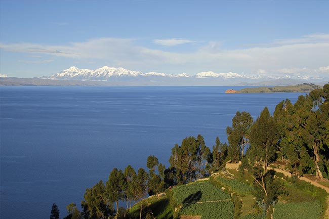
Lake Titicaca is not only the highest lake in the world above 6,560 ft (2,000 m): it also takes the crown for being the world’s highest navigable lake at a soaring 12,500 ft (3,800 m) above sea level. Check out our Lake Titicaca Map and learn more about this natural wonder between Peru and Bolivia in South America.
Titicaca Map
![]()

Lake Titicaca Overview:
- Lake Titicaca is located between coordinates 15 º 13’19 “and 16 º 35’37” south latitude and between 69 º 33’36 “and 70 ° 02’13” west longitude.
- It measures 194 km long and 65 km wide, occupying 8.710 km2 (5.260 in Peru and 3.450 in Bolivia) and has a maximum depth of about 920 ft (280 m). It’s hard to imagine that it takes at least a day to cross by boat!
- Lake Titicaca offers an extraordinary fauna composed of ducks, fish such as capache and trout, as well as alpacas and llamas among others.
Peru’s Titicaca Islands
Here are the major islands on the Peruvian side of Lake Titicaca:
Amantani Island (Peru) is 9.28 km2, making it the largest of the islands in Lake Titicaca in Peru. It is located off the peninsula Capachica in the province of Puno.
Uros Islands (Peru) are a set of artificial islands made of a type of reed called totora. Uros is inhabited by descendants of ethnic Uru, one of the most ancient peoples of the Americas, whose main activities are fishing and hunting.
Taquile or Intika (Peru) has steep shores and its main town is located 460 ft (140 m) above the lake. It is part of the island district in the province of Amantani Puno.
Customize a journey to Lake Titicaca and other South American Highlights.